Geospatial Science in the Arctic Domain
Enroll now →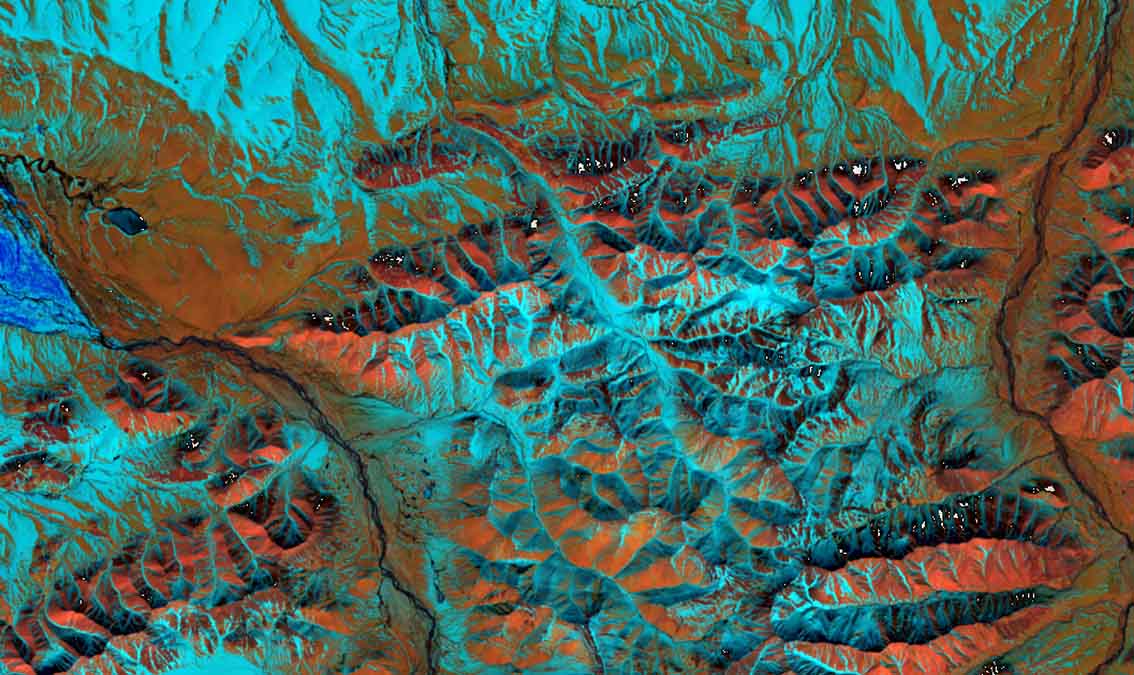
About this course
This course focuses on a range of remote sensing and geospatial science applications in the Arctic domain. Based on a brief introduction of fundamental remote sensing principles, this course will discuss general change detection applications, will introduce methods for the monitoring of snow and water; and teach remote sensing methods for wildfire analysis. In the final module, the course will discuss increasing landslide hazards in the Arctic and reveal how shallow and deep-seated landslides can be mapped using optical and radar remote sensing. All these applications are actors of change in the Arctic and impact geospatial intelligence applications such as the assessment of Arctic domain trafficability.
What you'll learn
- understand fundamental remote sensing principles
- apply remote sensing methods for change detection
- monitor snow and water levels in the Arctic
- analyze wildfire impacts using remote sensing
- map landslide hazards with optical and radar techniques
Course objectives
- provide an overview of remote sensing applications in the Arctic
- introduce monitoring methods for environmental changes
- discuss the implications of geospatial intelligence in Arctic trafficability
Skills you'll gain
Related courses

Data Science Foundations
USD 49

Data Analytics in the Public Sector with R
USD 49

Data Science as a Field
USD 99

Geographic Information Systems (GIS)
USD 49

Statistical Methods and Data Analysis
USD 49

Programming for Python Data Science: Principles to Practice
USD 49

Data Visualization & Analytics in Tableau
USD 49

Enhancing Reproducible Science with GitHub and Docker
USD 49
Course details are provided by the platform and may change — always confirm on the provider's site. Links may be affiliate links.