GIS Image Analysis in ArcGIS Pro
Enroll now →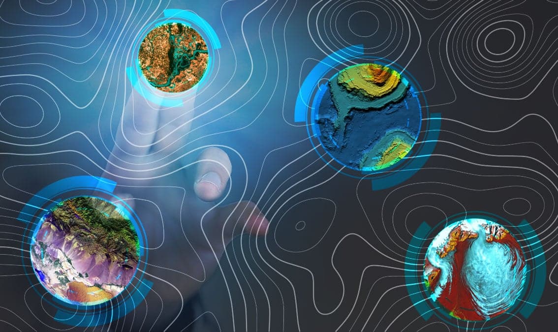
About this course
Learn fundamentals of remote sensing, image analysis, image processing and its application to real-world problems such as changing water bodies, vegetation health, and wildfire severity.
What you'll learn
- understand the fundamentals of remote sensing
- apply image analysis techniques to real-world scenarios
- conduct image processing using ArcGIS Pro
Skills you'll gain
Related courses

Data Science Foundations
USD 49

Data Analytics in the Public Sector with R
USD 49

Data Science as a Field
USD 99

Geographic Information Systems (GIS)
USD 49

Statistical Methods and Data Analysis
USD 49

Data Visualization & Analytics in Tableau
USD 49

Enhancing Reproducible Science with GitHub and Docker
USD 49

Programming for Python Data Science: Principles to Practice
USD 49
Course details are provided by the platform and may change — always confirm on the provider's site. Links may be affiliate links.